
Issued at (20:00) hours MST on 18-9-2024
ACCORDING to Weather Research and Forecasting model, the tropical depression in the South China Sea may intensify and may cross to the interior Vietnam on 20-9-2024. It is forecasted to start crossing Southeast Myanmar on the evening of 20-9-2024. After crossing the remanant clouds and wind wave from the tropical depression over Myanmar, it may re-initiate into a Low-Pressure Area over the Andaman sea and Bay of Bengal.
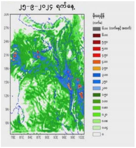
Due to the wave propagation speed, rain or thundershowers will be widespread in Nay Pyi Taw, Mandalay, Magway, Bago, Yangon, Ayeyawady and Taninthayi regions and Shan, Chin, Rakhine, Kayah, Kayin and Mon states with likelihood of regionally and isolated heavyfalls and strong wind during 21 September 2024 up to 25 September 2024.
At this time, the tropical depression has not yet crossed over the interior Vietnam, so all forecast are based on the time of observation, the data used and the model applied. Therefore, the storm’s track may change. The Department of Meteorology and Hydrology will continue to release updated forecast in real-time as they come available.
Advisory People should be aware the heavy rainfall with strong wind, the natural disasters such as flash flood and landslide in the hilly areas and near small rivers and inland water transport and domestic flight.
DMH